About
Our story
Mach9 was founded in 2021 by four researchers at the Carnegie Mellon University Robotics Institute to accelerate how teams model and understand the world.
Working alongside surveyors, we saw opportunities to streamline repetitive feature-extraction tasks. Inspired by the rigor and precision of surveying, we set out to build the fastest, most accurate automated feature-extraction technology.
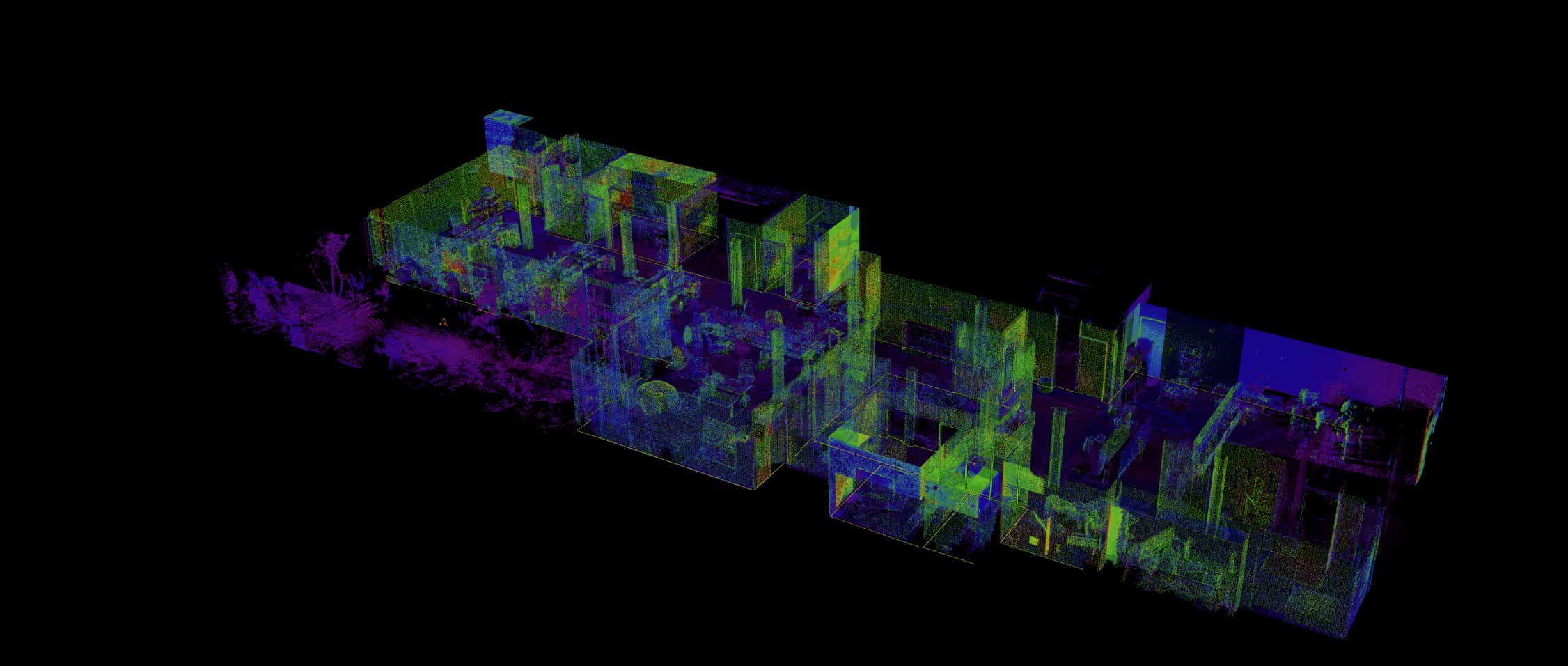
We started in transportation and telecom surveying, where it takes days to weeks to create highly accurate maps at huge scale with mobile mapping. Our flagship product, Digital Surveyor, is trusted by the top transportation agencies and engineering firms in the U.S. and Canada and enables our customers to extract miles of road corridor projects in a fraction of the time.
Our company, like our platform, is built for speed. We work fast, iterate with customer feedback, and never compromise on excellence. Headquartered in San Francisco, Mach9 empowers the architecture, engineering, and construction industries to tackle large-scale and long-range projects efficiently, unlocking new opportunities for more intelligent, more resilient infrastructure development.
Our values
Solve real problems
We don't make technology just for the sake of it. Everything we do is focused on building purposeful, long-lasting solutions to real problems.
No compromise on excellence
The toughest challenges demand the brightest minds. We invest in exceptional people and let the best ideas lead.
Get it done right and fast
Our commitment to our customers is simple — quality results, delivered quickly. We bring this mindset to every challenge we take on.
Hard problems, human approach
We create an environment where people feel free to think differently and have fun while finding solutions to hard problems.
Investors
Our investors include world-class technology venture firms and a strong network of industry veterans that help us develop our products and ensure we solve the right problems and unlock billions in value for our customers.